
Hurricane Season Has Arrived - HPOT Edition
- Thread starter TC_Nole_OX
- Start date
You are using an out of date browser. It may not display this or other websites correctly.
You should upgrade or use an alternative browser.
You should upgrade or use an alternative browser.

Tropical Storm #Dolly has formed in the eastern Atlantic from the tropical wave previously known as Invest 96L. A west-northwestward track towards the Leeward Islands of the Lesser Antilles is expected through this weekend.
While a well-defined circulation is evident in satellite imagery, Dolly's currently anemic levels of deep convection foreshadow unfavorable environment ahead, consisting of a generally dry air mass east of the Caribbean and higher levels of westerly/southwesterly shear as the storm nears the #LesserAntilles. Models are thus bearish on Dolly's near-term future, as is the first official NHC forecast, showing likely dissipation of Dolly near or east of the #LeewardIslands.
If Dolly does dissipate, its remnants would be similar to a strong tropical wave that could still bring heavy rains and gusty winds to portions of the northeastern Caribbean, including #PuertoRico. Residents in the region should monitor the forecast over the rest of this week.
18z spaghetti models from Tropical Tidbits. This looks a little different than the 18z map posted earlier

Tropical Storm #Dolly is pretty small due to a lot of dry air in the surrounding environment. It may hold on for another day or two, but then shear from the TUTT will begin to impact it and probably rip apart the small circulation.
Most models (EC+AIFS+GFS+AIGFS) show interaction with Hispaniola finishing the system off in a few days. A few models (CMC+UKMET and some ensemble members) show the system surviving and staying just offshore enough to find a window to develop in the Bahamas or Gulf region.
Overall, this system does not seem like a major long-term threat at this point. Hopefully it will provide some beneficial rain to PR and the Virgin Islands, which are dealing with drought. If a track north of the islands becomes more plausible, then it might be more of a threat, but that seems like a low-percentage scenario at this point.
Miami NBC weatherman
As I was saying this morning, the "cone of possibilities" is narrow because it only reaches 72 hours (Saturday). Officially, the NHC projects that the newly christened storm Dolly will dissipate before reaching Puerto Rico, leaving (hopefully) a rain system without consequential winds. #Dolly
As I was saying this morning, the "cone of possibilities" is narrow because it only reaches 72 hours (Saturday). Officially, the NHC projects that the newly christened storm Dolly will dissipate before reaching Puerto Rico, leaving (hopefully) a rain system without consequential winds. #Dolly
If you have been on the various versions of this thread over the years, you will remember storm chaser Josh Morgerman going to ground zero of massive storms.
Here is his video from the Cat 5 hurricane that hit Jamaica last October
Hurricane MELISSA at Ground Zero (2025)
Here is his video from the Cat 5 hurricane that hit Jamaica last October
Hurricane MELISSA at Ground Zero (2025)


06z spaghetti models
This isn’t good. We don’t want this thing surviving and making it to the Gulf where there is more than enough heat in the water for it to develop into a major hurricane.

This isn’t good. We don’t want this thing surviving and making it to the Gulf where there is more than enough heat in the water for it to develop into a major hurricane.
Last edited:
Andy H is a lot less worried
Tropical Storm #Dolly is pretty small due to a lot of dry air in the surrounding environment. It may hold on for another day or two, but then shear from the TUTT will begin to impact it and probably rip apart the small circulation.
Most models (EC+AIFS+GFS+AIGFS) show interaction with Hispaniola finishing the system off in a few days. A few models (CMC+UKMET and some ensemble members) show the system surviving and staying just offshore enough to find a window to develop in the Bahamas or Gulf region.
Overall, this system does not seem like a major long-term threat at this point. Hopefully it will provide some beneficial rain to PR and the Virgin Islands, which are dealing with drought. If a track north of the islands becomes more plausible, then it might be more of a threat, but that seems like a low-percentage scenario at this point.
TUTT explained
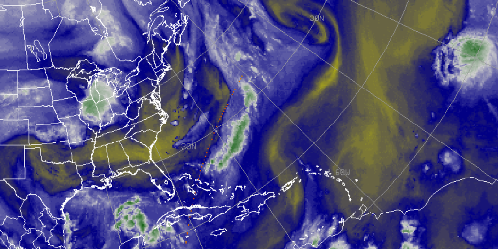
 www.foxweather.com
Tropical Storm #Dolly is pretty small due to a lot of dry air in the surrounding environment. It may hold on for another day or two, but then shear from the TUTT will begin to impact it and probably rip apart the small circulation.
Most models (EC+AIFS+GFS+AIGFS) show interaction with Hispaniola finishing the system off in a few days. A few models (CMC+UKMET and some ensemble members) show the system surviving and staying just offshore enough to find a window to develop in the Bahamas or Gulf region.
Overall, this system does not seem like a major long-term threat at this point. Hopefully it will provide some beneficial rain to PR and the Virgin Islands, which are dealing with drought. If a track north of the islands becomes more plausible, then it might be more of a threat, but that seems like a low-percentage scenario at this point.
TUTT explained
What is a tropical upper tropospheric trough (TUTT)?
A tropical upper tropospheric trough is an elongated area of low pressure in the upper levels of the atmosphere. These semi-permanent features can become cut off, forming what is known as a TUTT low. TUTTs produce a significant amount of wind shear that can disrupt tropical cyclones.
www.foxweather.com

Following this possible storm is like the steamroller scene in Austin Powers

This happens several times a year where we have to wait a week or two to know if a storm is going to develop and if so, where will it go
The hurricane that hit Jamaica last year took close to three weeks before we knew what would happen.
This was faster than expected. Let’s hope the mountains of Hispaniola finish it off
Last edited:
Latest
-
01
 Tiger Illustrated
Friday Clemson Football Insider
Tiger Illustrated
Friday Clemson Football Insider
-
02
 Tiger Illustrated
The real story of this offseason in Clemson
Tiger Illustrated
The real story of this offseason in Clemson
-
03
 Tiger Illustrated
Thursday Evening Clemson Football Nuggets: Development on the O-line, snap distribution at TE - WR for LSU + punting
Tiger Illustrated
Thursday Evening Clemson Football Nuggets: Development on the O-line, snap distribution at TE - WR for LSU + punting
-
04
 On3
ACC passes rule prohibiting former professional athletes from returning
On3
ACC passes rule prohibiting former professional athletes from returning
-
05
 Tiger Illustrated
Thursday Clemson Football Insider
Tiger Illustrated
Thursday Clemson Football Insider